Sir2: Padua’s new tramway line


The tramway is redesigning the city
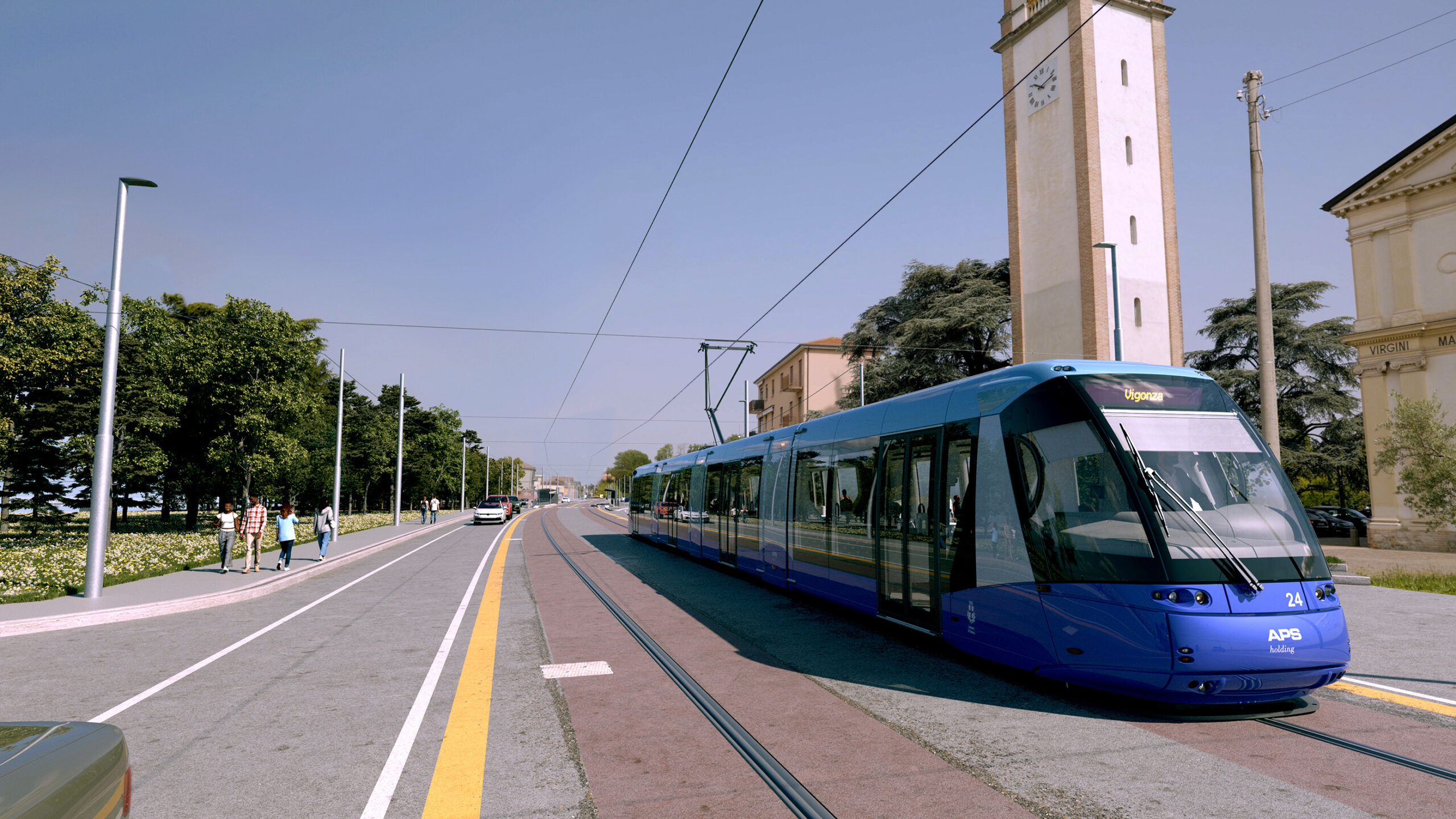
The new Sir2 tram line crosses Padua from west to east. Spanning 17.5 km, it connects the municipality of Rubano with Vigonza in 36 minutes, passing through residential neighborhoods, commercial areas, the historic city center, and the main railway station.
Within this framework, NET Engineering carried out the Detailed Design and provided On-site Technical Assistance to the contractor. NET also managed the coordination between the contractor and the other members of the TJV and performs—where necessary—revisions and integrations to the Detailed Design during the construction phase for the section connecting Rubano to Padua Railway Station (known as the West Lot or Lot 1). Furthermore, NET supported the local municipal administration in producing a project communication video: a product created to engage citizens through a visual narrative highlighting the features and advantages of the new tramway system.
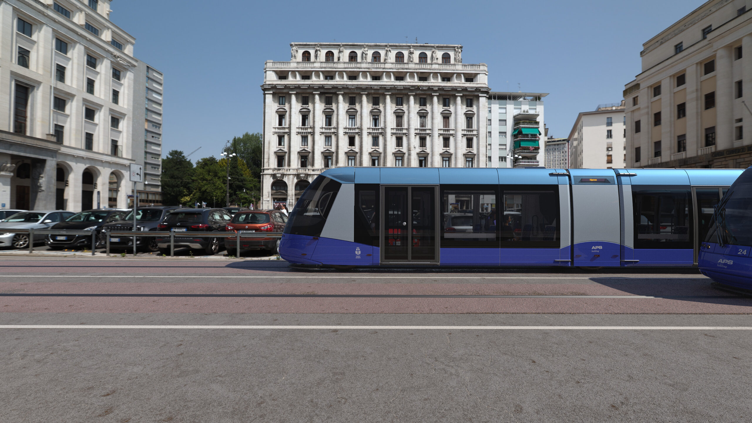
The section from Rubano to the railway station has a total length of 9.750 km, 20 stops, and—starting from the intersection between Corso Garibaldi and Riviera Ponti Romani—overlaps with the existing Sir1 line for a length of 670 meters.
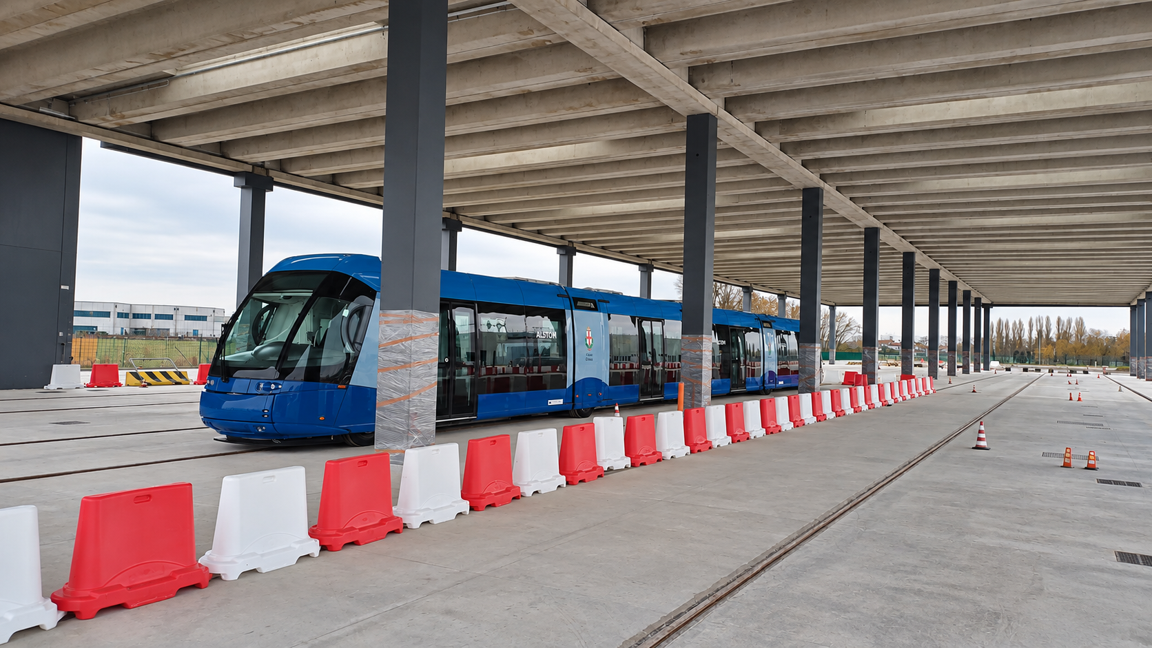
From an infrastructural standpoint, the project features a central single rail embedded in a running pad wide enough to accommodate the footprint of a rubber-tired tram. Indeed, as with the Sir1 line, Padua’s second tramway line utilizes Translohr electric-drive vehicles (now owned by Alstom) powered by an overhead contact line (OCL), capable of interfacing with wayside signaling systems to optimize travel times.
This technology allows for catenary-free sections along the route where the tram operates solely on battery power, eliminating the need for overhead lines. This offers a significant alternative for many Italian cities aiming to further protect their historical and architectural heritage—an option Padua chose to implement for a large portion of the Sir2 route within the ancient city walls.
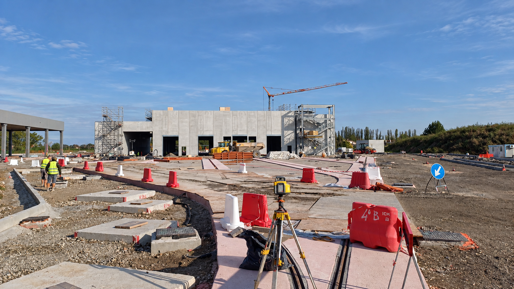
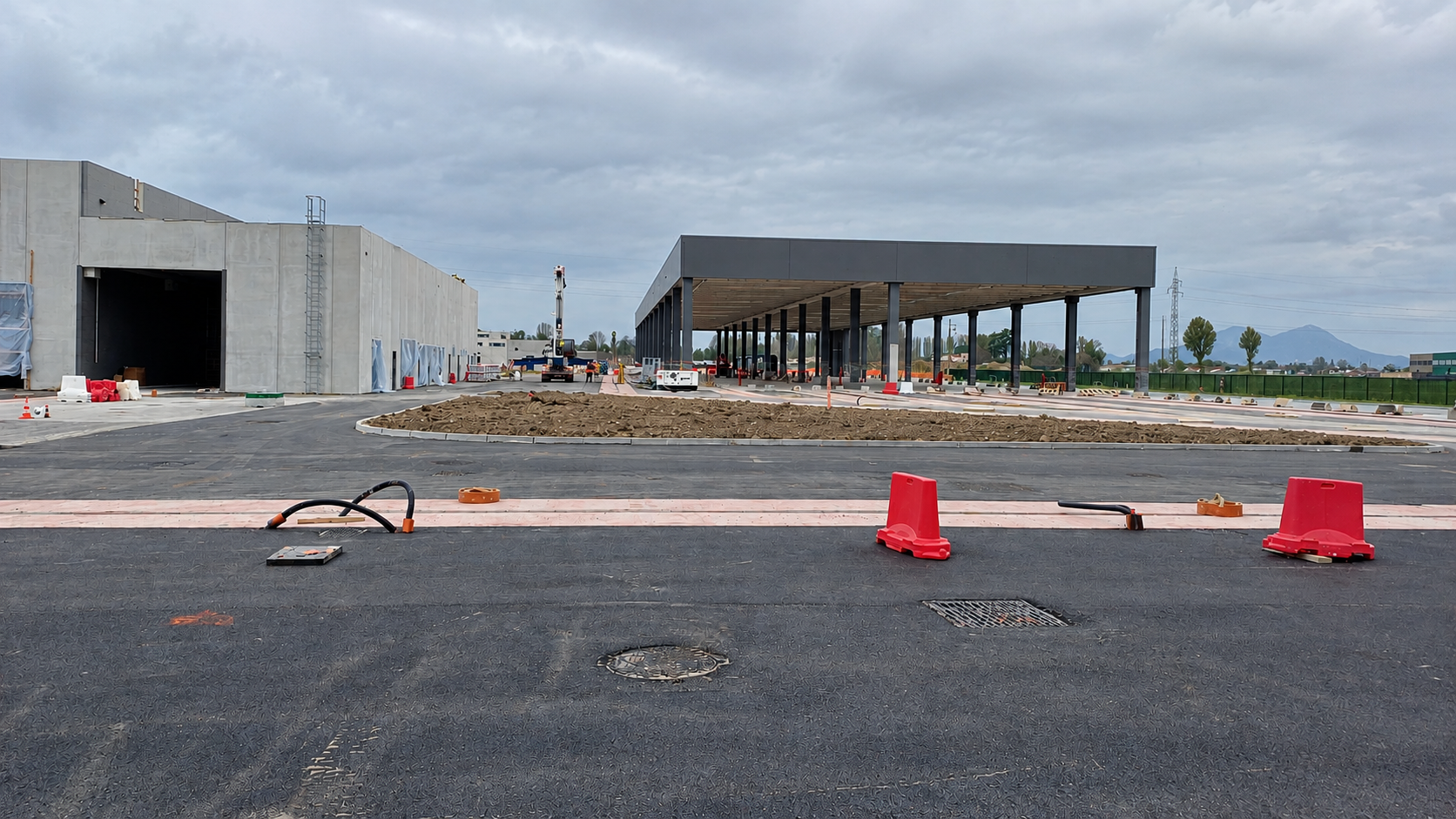
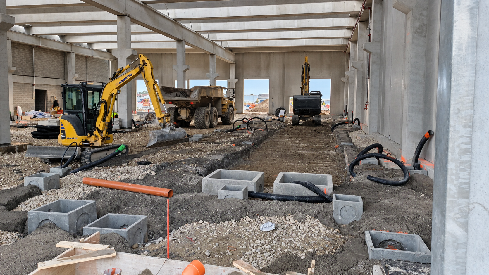
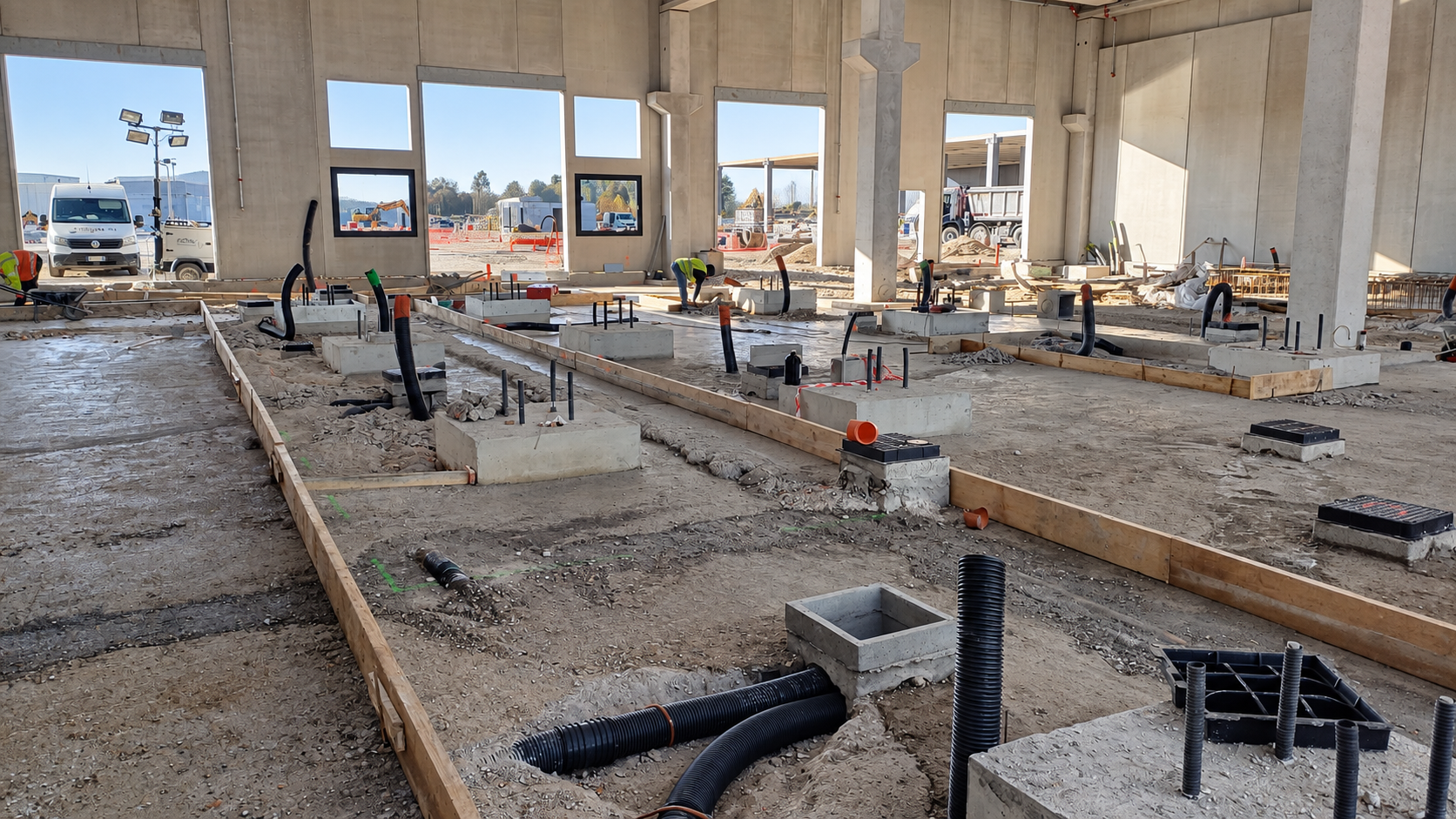
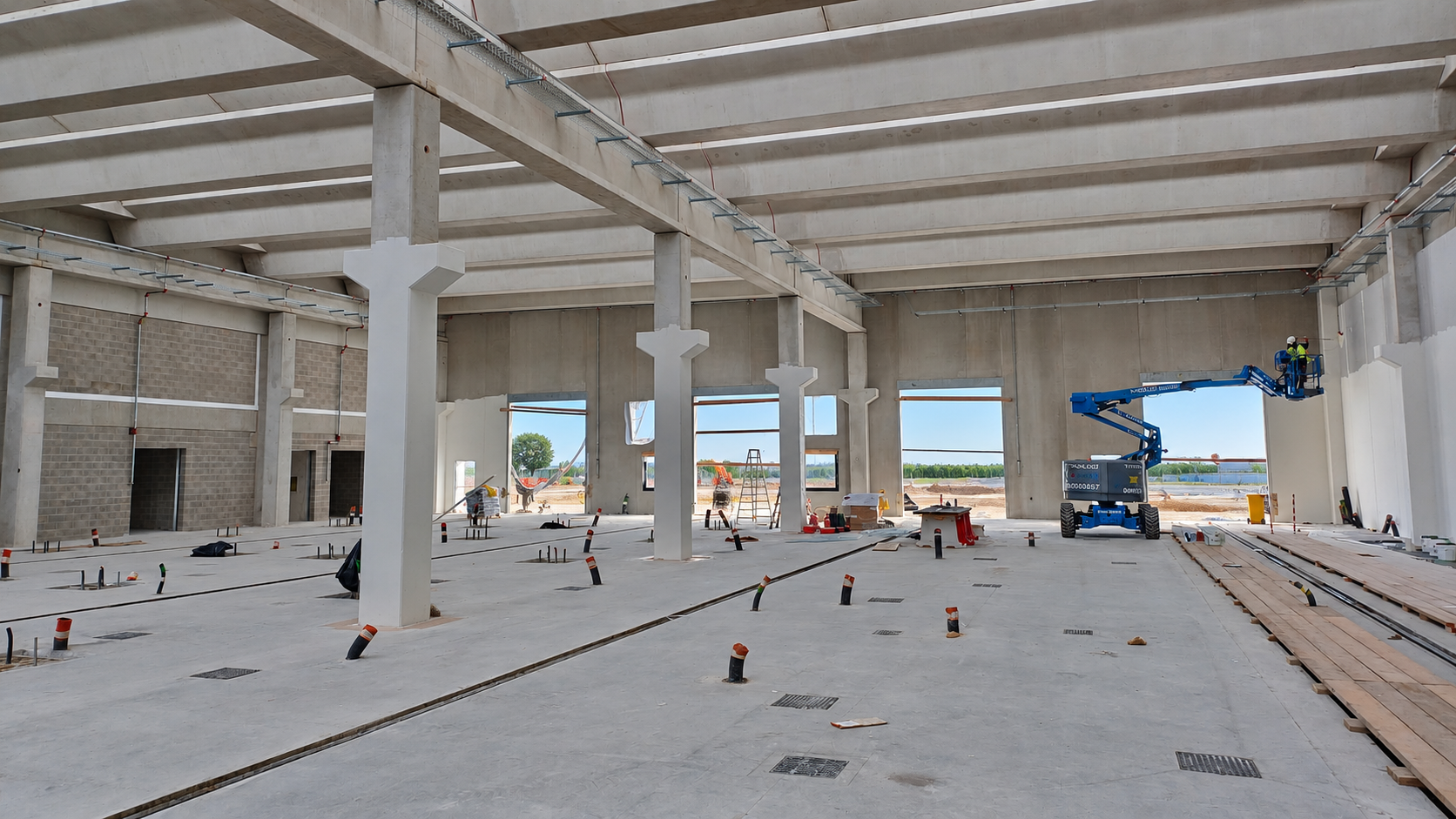
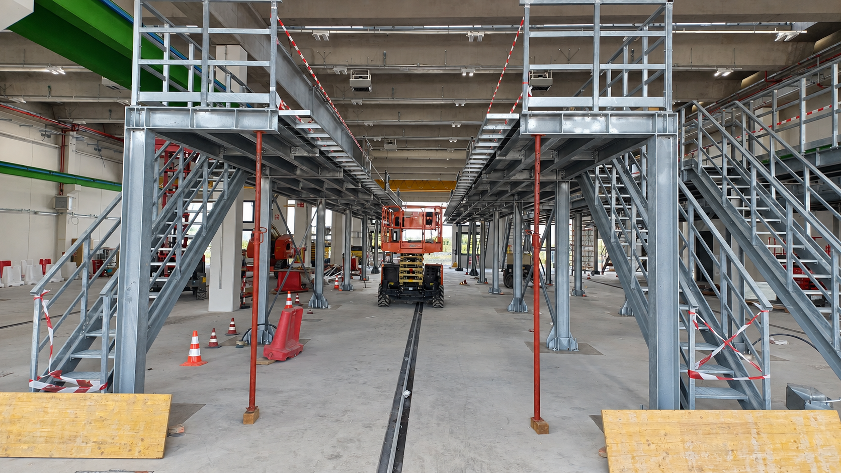
The route starts in the west at Rubano, home to the new vehicle depot, maintenance workshop, and a 360-space park-and-ride facility. After traversing Rubano, it crosses the Brentelle bridge to enter Padua in the Chiesanuova district. Here, near the former Romagnoli Barracks, an intermediate terminus and an additional park-and-ride facility are planned.
Together with Sir1 and Sir3 (currently in pre-operation testing), the new tram line aims to enhance urban sustainability and reduce CO2 emissions in Padua—a city selected by the European Commission among the Net Zero Cities committed to achieving climate neutrality by 2030. Consequently, the construction of the Sir2 line also serves as an opportunity for urban regeneration: complementing the line with new pedestrian and cycle paths, expanding urban green spaces with new tree plantings along the alignment, introducing green areas—such as the large urban park currently under construction at the former Romagnoli Barracks—and expanding the network of park-and-ride facilities at both main and intermediate termini.
Detailed
Design
NET developed the Detailed Design, integrating the requirements established by the “multi-agency approval boards” (Conferenze dei Servizi) and updating portions of the Definitive Design to comply with updated standards. A key example includes the Sir2 stop shelters, which—upon the Client’s request—had initially been designed to match the existing Sir1 shelters. Following the introduction of new regulations regarding wind pressure profiles, NET redesigned both the structural and architectural components of the shelters to satisfy the new loading values while fulfilling the Operator’s requirements as closely as possible.
Furthermore, value-engineering proposals were introduced regarding the tram’s power supply within the historic center. The Catenary-Free solution suggested by NET and accepted by the Client required a redesign of the tramway infrastructure within the historical city walls, successfully eliminating the traction power poles originally included in the Definitive Design.
In addition, supplementary geotechnical and geognostic site investigations were carried out for the area designated to host the depot and terminus in the Municipality of Rubano. These new investigations highlighted the urgent need for ground improvement works and a completely new foundation design.
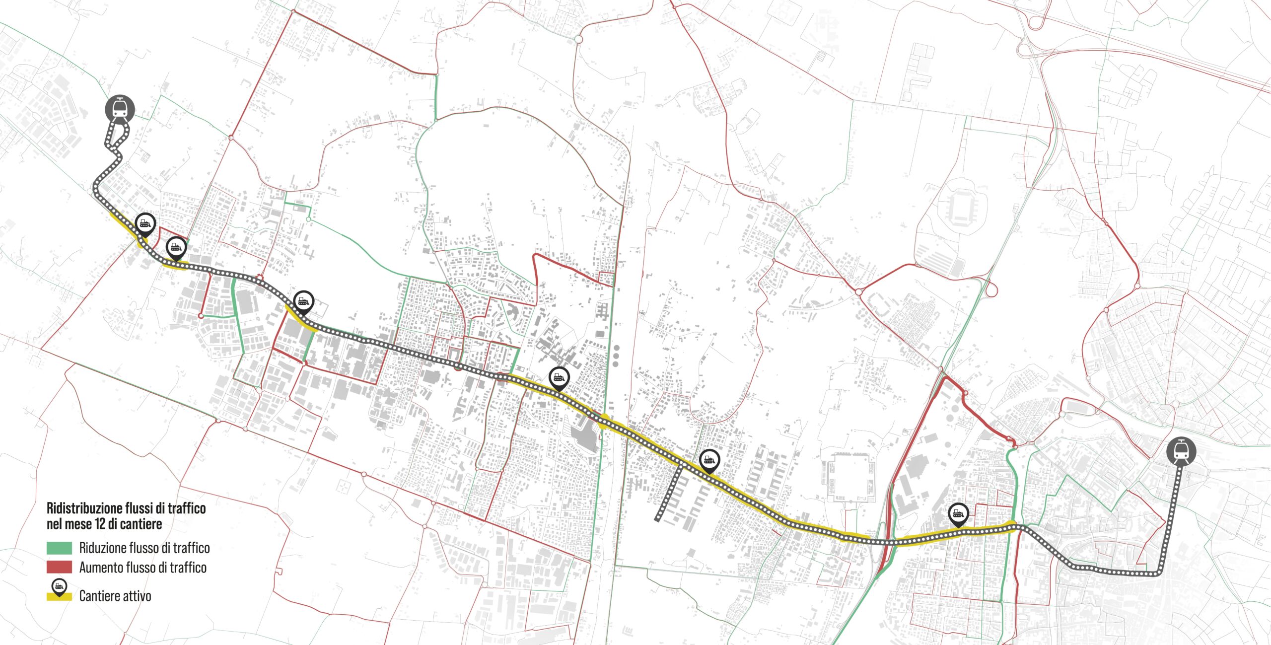
Environmental considerations focused heavily on mitigating construction-phase impacts. Appropriate mitigation measures were defined within the Environmental Construction Management Plan (PAC), specifically targeting atmospheric emissions and noise pollution.
To quantify and identify potential environmental impacts, an Environmental Monitoring Plan (PMA) was drafted to track variations in environmental parameters during both the construction and operational phases.
The project was integrated into the surrounding landscape through the introduction of native tree and shrub species along the alignment and associated works, ensuring optimal landscape integration across both urban and rural contexts.
Plant growth and the removal of invasive alien species will be monitored in accordance with the PMA guidelines.
The environmental design was drafted in compliance with Minimum Environmental Criteria (CAM) and DNSH (“Do No Significant Harm”) principles to demonstrate that the project substantially contributes to climate change mitigation without causing significant harm to other environmental objectives, such as pollution prevention and the protection of biodiversity and ecosystems.
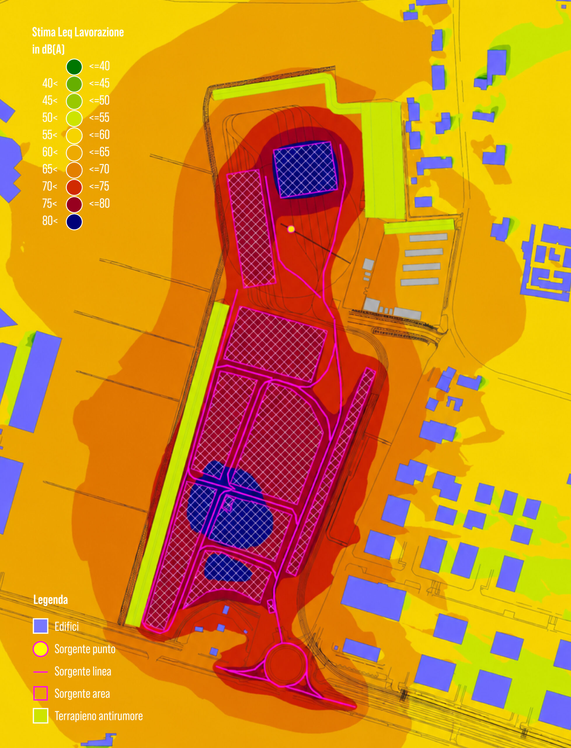
As part of the Detailed Design, NET managed the design of all 20 tram stops—including the Rubano and Romagnoli termini—along with the bus platforms and waiting shelters planned at both termini. The design scope also encompassed tactile paving paths, pedestrian crossings, connections to the park-and-ride facilities, and their integrated photovoltaic canopies.
Aesthetically and typologically, the Sir2 stops echo the existing Sir1 shelters in the city. Given their quantity and contextual variety, three distinct stop typologies were developed.
While maintaining a standard length of 32 meters—ideal for the selected vehicle fleet—the technical details of the shelters adapt to varying platform widths, with larger shelters incorporating photovoltaic roof panels. Additionally, tailored designs were developed for island platforms serving double-sided boardings.
Further architectural variations—including custom curbs, paving materials, and pedestrian safety barriers—were introduced for stops located within the historic center to seamlessly blend them into the architectural heritage while maintaining visual harmony with existing urban stops.
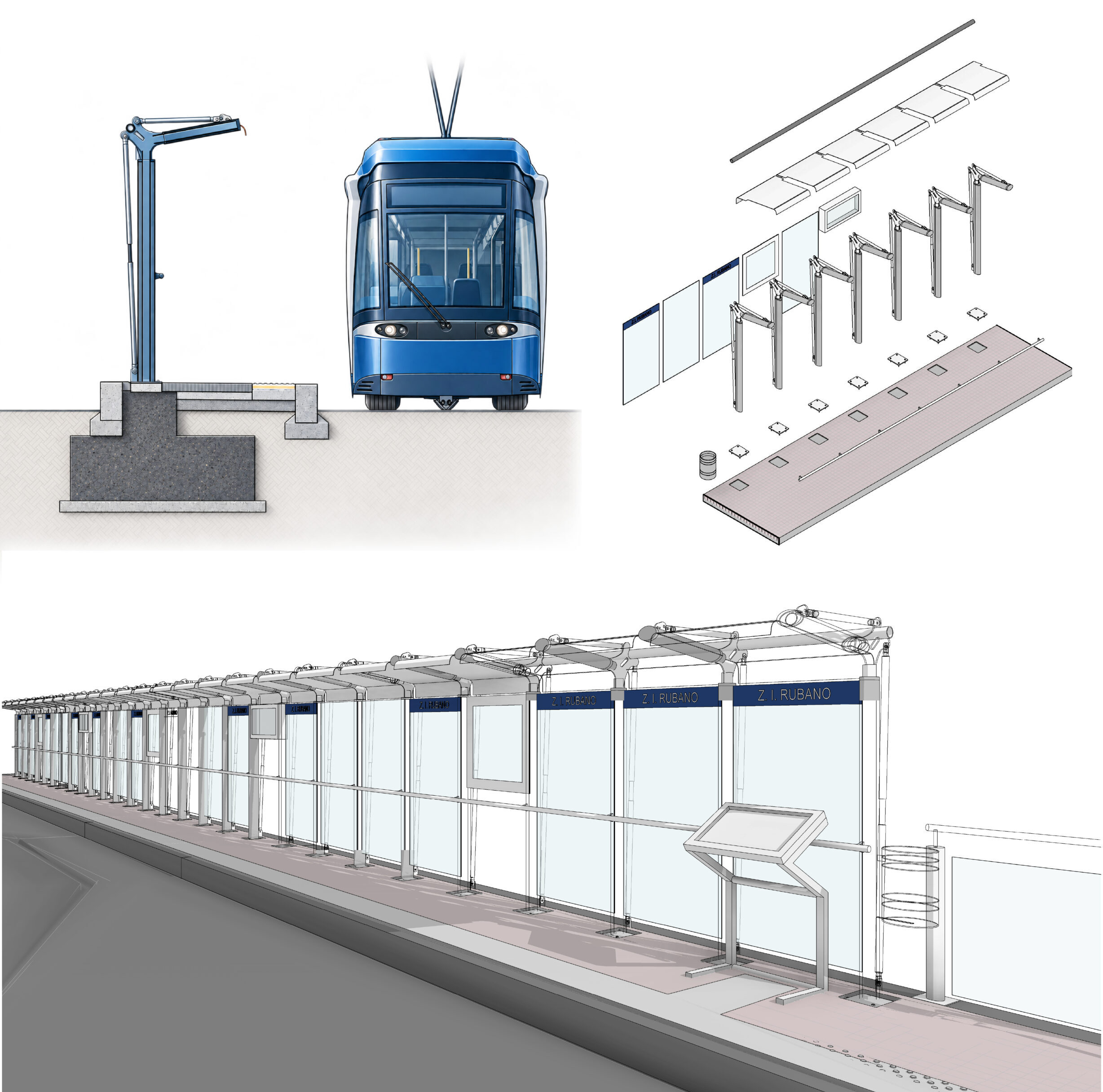
NET conducted Traffic Impact Analyses for the construction phases to evaluate the effects on the directly affected road network and surrounding arterial routes, identify traffic bottlenecks, and devise mitigation measures. The construction activities associated with the new tramway line inevitably impact passenger and freight mobility, road safety, and overall quality of life for local residents. Therefore, the analyses served as a strategic decision-support tool for construction phase planning and management—aiming to minimize traffic disruption, maintain route continuity, safeguard local accessibility, and preserve driveway access.
Based on the Construction Phasing Schedule and detailed site layouts, monthly construction evolution was modeled using macro-simulation software. Each construction phase was assigned a representative scenario capturing traffic re-routing and roadway modifications along the project alignment. For each scenario, network saturation maps were generated and route shifts analyzed.
Quantitative indicators were extracted to measure impacts on vehicular mobility, including traffic volumes, average travel times, and delays compared to the baseline scenario (without construction). This analysis highlighted critical peak conflict periods, enabling the formulation of targeted traffic management strategies.
Specific “Footprints” were modeled for key intersections to analyze origin-destination movement pairs and vehicle routing across intersecting nodes. This assessed the spatial and temporal extent of traffic disruption as construction staging progressively occupied key junctions, ultimately guiding revisions to the construction sequence to minimize node closures.
In parallel, given the strategic importance of Corso Milano within the urban road network, a dedicated micro-simulation model was developed to analyze localized traffic flow dynamics. The model verified operational conditions across various construction stages and quantified travel time delays. Results provided valuable insights for optimizing signal timing, lane closures, and staging sequences at the Corso Milano junction.
Construction-Phase
Technical Assistance
Technical assistance services provided on-site to support the contractor included:
- Drafting technical modifications to the Detailed Design proposed by the Contractor and reviewing Construction Engineering Drawings prepared by the Main Contractor or Subcontractors through formal Technical Notes.
- Technical and economic preparation of Design Variations, including permitting procedures with relevant authorities.
- Supporting the Contractor in reviewing quality control and material testing results, as well as defining necessary additional testing for design modifications.
- Analyzing non-conformities impacting design and proposing technical resolutions.
- Technical-engineering support for claims management, evaluation of contractor reserves/disputes, and resolution of legal-technical issues.
- Verification and review of As-Built project documentation.
- Liaison and technical support in relationships with the Works Direction, Testing & Commissioning Board, Granting Authority, and participating institutional bodies.
BIM As-Built Modeling
NET is developing the BIM As-Built models for the Sir2 line to deliver a comprehensive Information Model reflecting the final built asset, inclusive of all design variations implemented during construction.
Because As-Built modeling covers infrastructure, architectural, structural, and MEP (Mechanical, Electrical, Plumbing) disciplines simultaneously, NET coordinates digital workflows, manages information exchange between project teams and the contractor, performs clash detection on the federated model, and ensures traceability for resolved site discrepancies.
Crucial to this process is the technical ability to distinguish between executive design variations, surveying errors,and construction non-conformities—a technical distinction that dictates data quality and formal reporting to the Works Direction.
The core value of the model lies in the parametric attribute data attached to model elements, structured according to the BIM dimensions specified in the Employer’s Information Requirements.
Data completeness and consistency transform the As-Built model from a simple 3D geometric representation into a powerful asset data foundation for Lifecycle Management and Operations & Maintenance.
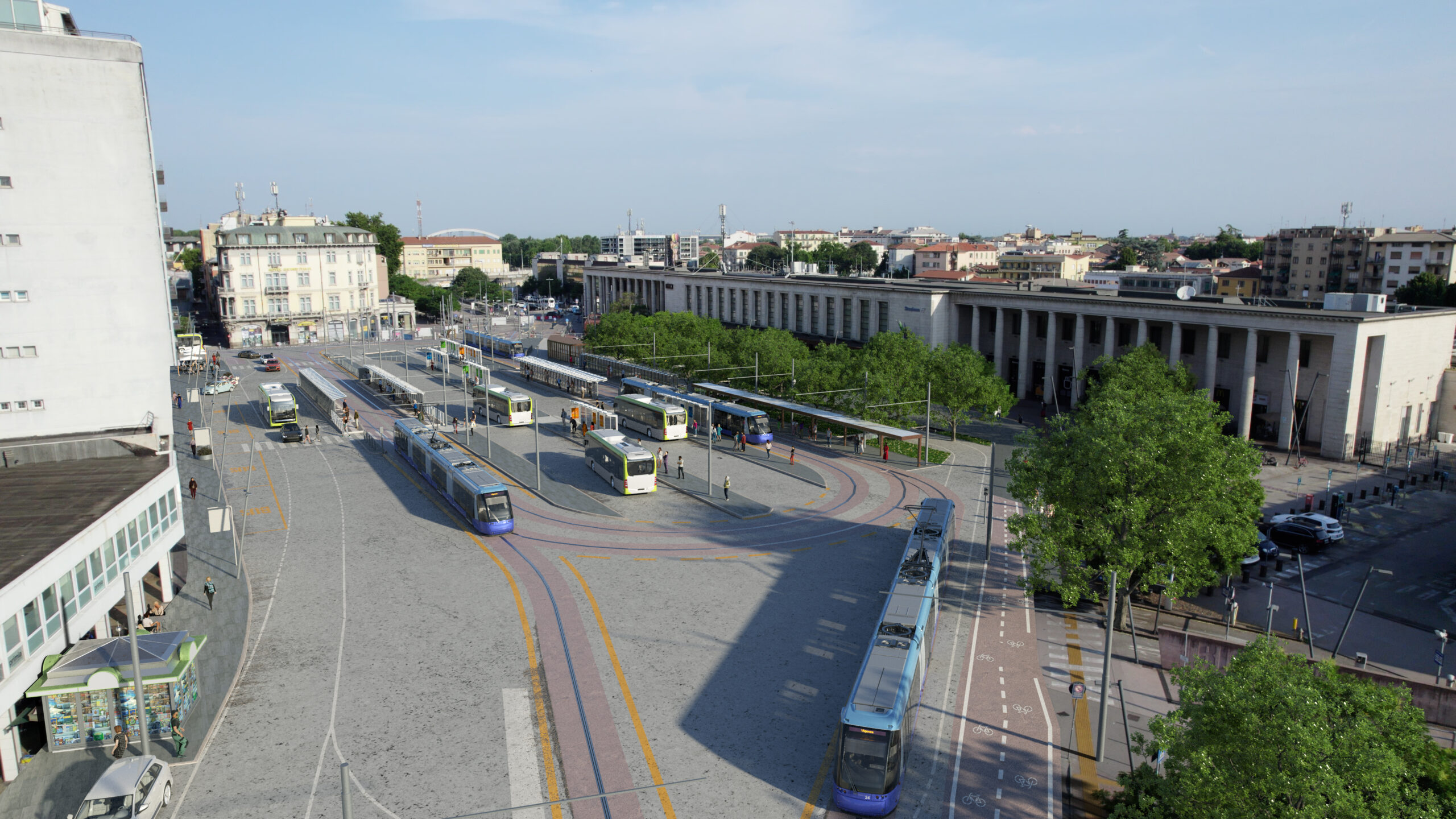
Video Production
NET produced an institutional communication video designed to present the new tramway line and its impact on urban mobility. The production encompassed scriptwriting, video shooting, motion graphics, storyboarding, voiceover, and sound design. An integrated approach was adopted to merge storytelling, brand identity (aligning with the City of Padua’s visual communication guidelines), and technical engineering assets (designers’ BIM models).
Close collaboration between NET’s visual designers and engineering teams ensured swift design updates through an interoperable software workflow.
The workflow ran along two parallel tracks: narrative development (scripting and storyboarding) on one side, and 3D environment creation on the other—ranging from the vehicle model to civil engineering BIM models, synchronized camera tracking, motion graphics, and final post-production.
All incoming 3D models were homogenized to ensure visual consistency and readiness for rendering. Custom material libraries were developed for texturing and shading, while AI-driven tools were utilized for complex dynamic assets such as vegetation, pedestrian movement, and surrounding traffic flow.
Matchmoving techniques borrowed from cinematic VFX were employed to precisely reconstruct set cameras and align 3D geometry seamlessly with real footage.
The final phase involved editing, color grading, and professional voiceover recording. This provided the City of Padua with a powerful, accessible communication tool capable of explaining a complex infrastructure project—and its temporary construction impacts—clearly to the public.